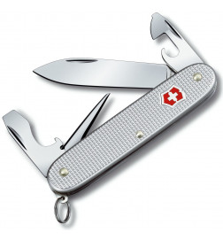
Multi-Tool Card
search
  • Multi-Tool Card
  • Multi-Tool Card
  • Multi-Tool Card

Multi-Tool Card

€29.00
Tax Included
Out-of-Stock

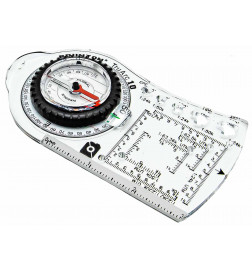
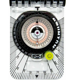
The Brunton Map Multi-Tool combines rulers, map scales, UTM grids and protractors into one convenient tool, useful for geologists.

Quantity :
  • Paiement 100% sécuriséPaiement 100% sécurisé CB, Paypal, Chèque

The Brunton Map Multi-Tool, features a unique protractor for measuring or plotting angles on maps and a unique strike and tilt crosshair cutout in the center. Rulers are in inches and centimeters, and map scales and UTM grids correspond to several common international cartographic scales. Unique cutouts make it easy to draw dots or lines on cards. The Map Multi-Tool fits easily into field pouches, vest pockets or field notebooks for safe storage when not in use.

Features of the Multi-Tool Card:

  • Rulers in inches/10ths and cm/mm.
  • Romer scales for UTM grids at different map scales.
  • Map rules for different map scales.
  • 360˚ protractor with unique open circle and strike and dive reticle
  • Dimensions: 7.6 x 15.2 x 0.7 cm
  • Weight: 11.3g
  • Perfect tool for geologists and geology teachers to demonstrate direction and dip measurements.
BRUNTON
BRUNTON-3040

Specific References

You might also like

Customers who bought this product also bought:

Multi-Tool Card

€29.00
Tax Included